Map Myths
What the Mercator projection does to Central Asia
On a standard web map, countries far from the equator look much bigger than they are. Here is how much Mercator inflates Central Asia and its neighbours.
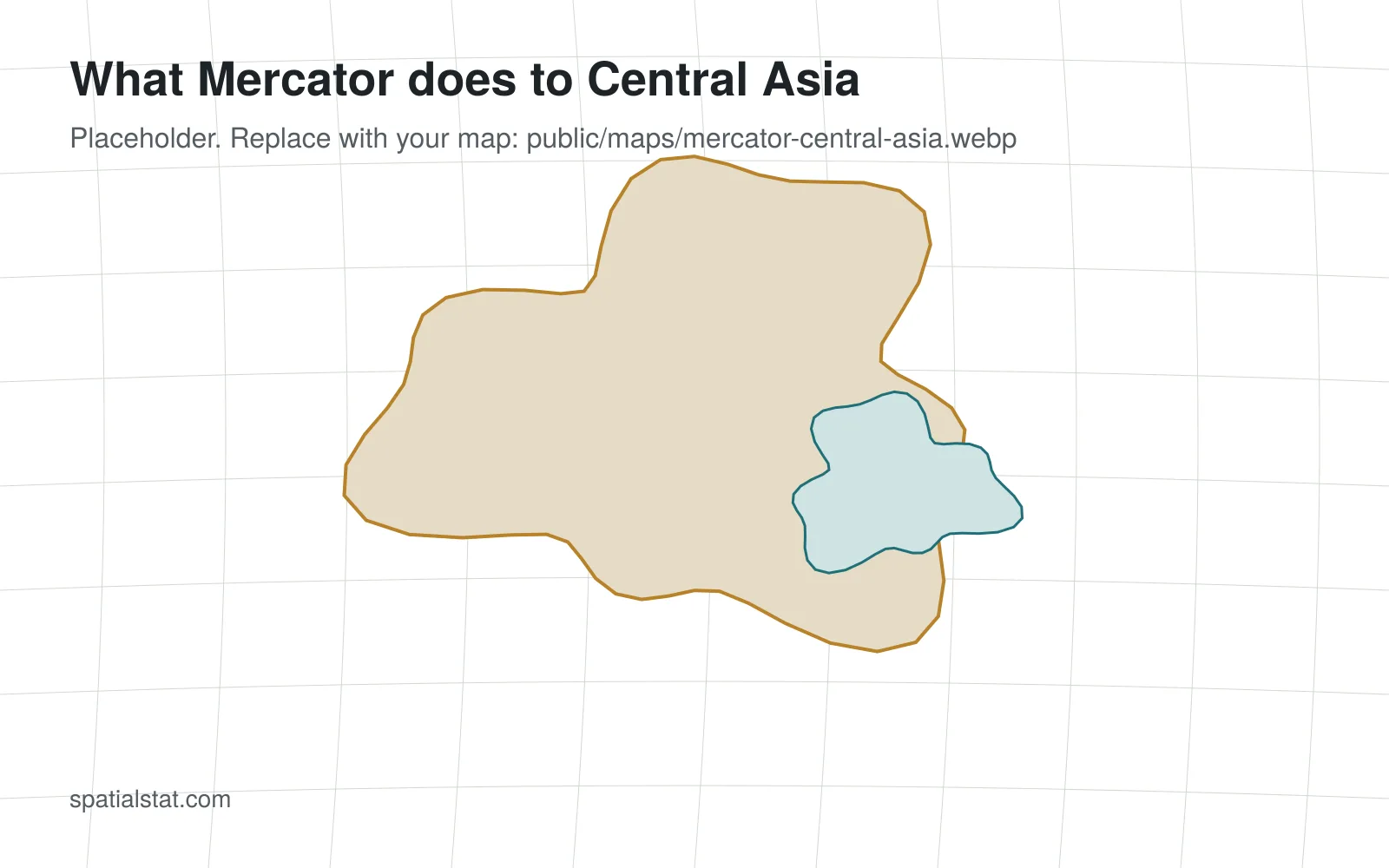
The Mercator projection keeps angles correct, which made it useful for navigation and later for web maps. The price is area: the further a place is from the equator, the more it is stretched.
At around 50° north, the latitude of northern Kazakhstan, areas on a Mercator map appear roughly two and a half times larger than they really are. Greenland famously looks as big as Africa, which is in fact about fourteen times larger.