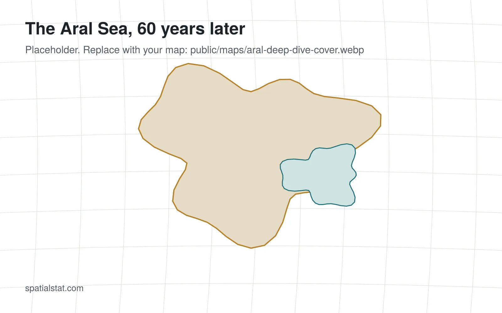
The Aral Sea, 60 years later
Mapping one of the largest human-made environmental disasters, decade by decade, with satellite images and the stories of the people who live on its former shore.
2 November 2026, 12 min read

Long reads built around maps, one a month. Each one shows its data and method.
Mapping one of the largest human-made environmental disasters, decade by decade, with satellite images and the stories of the people who live on its former shore.
2 November 2026, 12 min read