Then & Now
The Aral Sea, 1960s and today
Once the fourth-largest lake in the world, the Aral Sea lost most of its water after its rivers were diverted for irrigation. Satellite images show the change.
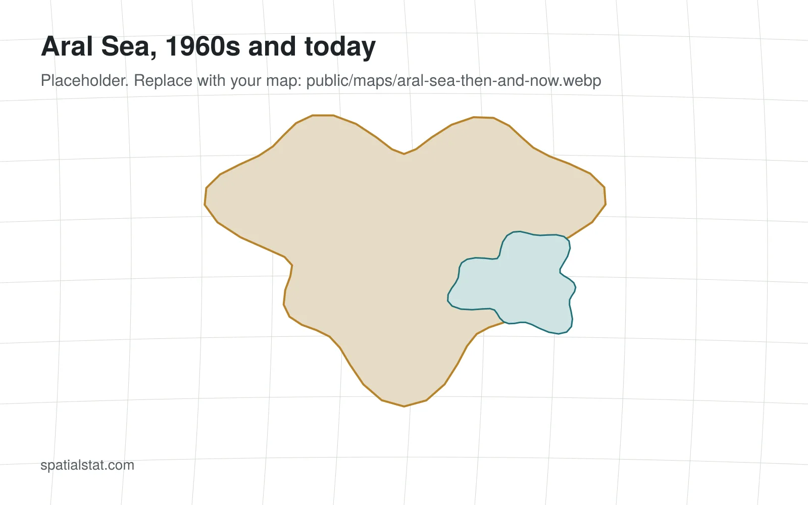
In the 1960s the Aral Sea, on the border of today’s Kazakhstan and Uzbekistan, was one of the largest lakes on Earth. Soviet irrigation projects then diverted the Amu Darya and Syr Darya rivers to grow cotton, and the sea began to shrink.
Today it has split into separate water bodies. The northern part, in Kazakhstan, has partly recovered since the Kokaral dam was completed in 2005.
Data and method
The shorelines are traced from Landsat images from different decades. Exact areas depend on the season of each image, so treat the outlines as approximate.